Projects Portfolio

A comprehensive showcase of urban planning projects spanning land use analysis, transportation planning, community engagement, and sustainable development initiatives.

Categories:GIS AnalysisTransportation PlanningAutoCAD DesignTransportation AnalysisUrban DesignWeb Mapping
Transportation Impact Analysis - Catherine & Mary Street Development
Transportation Analysis

Transportation Impact Analysis - Catherine & Mary Street Development

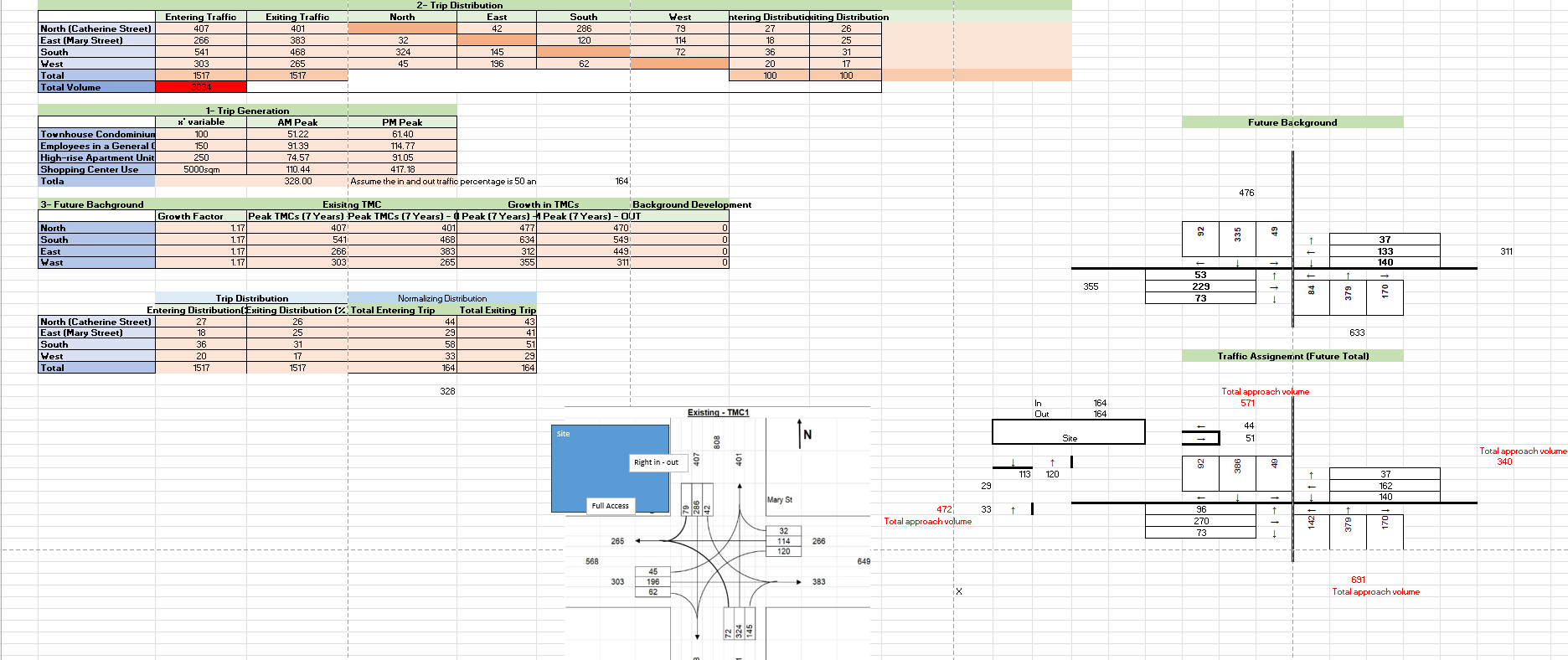
A comprehensive transportation impact assessment analyzing a proposed mixed-use development at the intersection of Catherine Street and Mary Street. This detailed study evaluated the transportation implications of a major development featuring townhouse condominiums (100 units), general office space (150 employees), high-rise apartments (250 units), and a shopping center (5000 sqm). The analysis employed advanced transportation modeling techniques including trip generation using ITE regression equations, trip distribution analysis, future background growth projections, and traffic assignment with full intersection diagrams showing approach volumes and turn movements.

ExcelTransportation ModelingITE Trip Generation+3 more
View Details
Planning Justification and Redevelopment Proposal - 559 to 603 Brant Street, Burlington
Urban Design

Planning Justification and Redevelopment Proposal - 559 to 603 Brant Street, Burlington

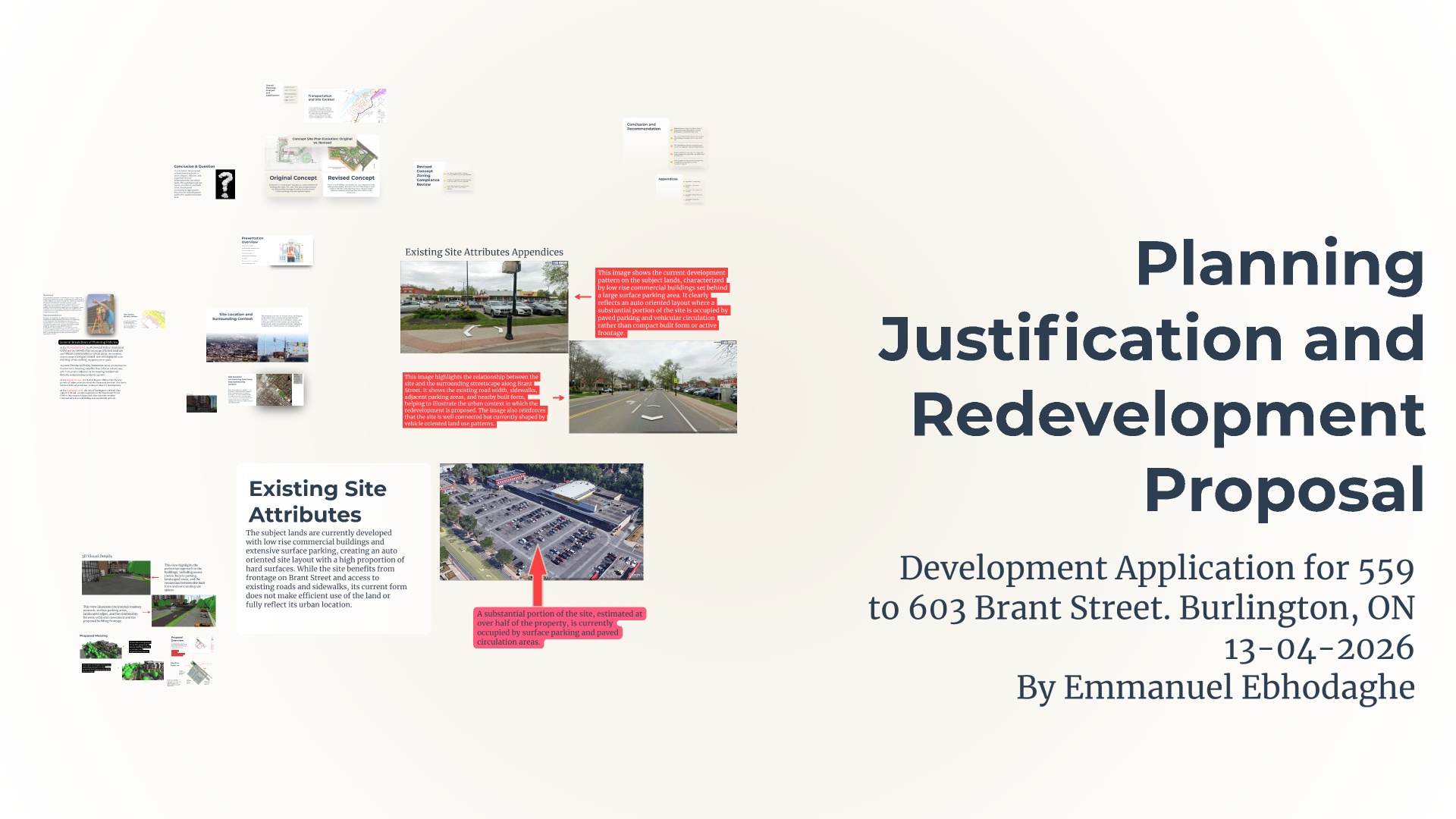
A comprehensive planning justification and redevelopment proposal for 559 to 603 Brant Street at the intersection of Brant Street and Victoria Avenue in Burlington, ON. The subject lands are situated within an established mixed-use urban area surrounded by commercial, residential, institutional, and open space uses, making it well suited for redevelopment and intensification. The project includes a detailed site analysis, land use context assessment, policy conformity review, and a 3D fly-through video walkthrough of the proposed redevelopment. The proposal demonstrates how the development aligns with provincial, regional, and municipal planning policies supporting urban intensification and mixed-use development in strategic growth areas.

SketchUpGIS MappingSite Analysis+3 more
View Details
GTA Coffee Shops - Interactive Web Mapping Application
Web Mapping

GTA Coffee Shops - Interactive Web Mapping Application

An interactive web mapping application built with Leaflet.js and OpenStreetMap that visualizes coffee shop locations across the Greater Toronto Area (GTA). The application features a dual-panel interface with a clickable sidebar listing and an interactive map displaying 5 coffee shop locations (Tim Hortons, Starbucks, Second Cup) across Toronto, Mississauga, Brampton, Markham, and Vaughan. The map also integrates a secondary open data layer showing parks (High Park, Trinity Bellwoods) as green markers, demonstrating multi-layer GIS data visualization. Users can click on sidebar listings or map markers to fly to specific locations with smooth animations and view detailed popups with store information. This project demonstrates proficiency in web-based GIS development, spatial data visualization using GeoJSON format, and interactive map design principles applicable to urban planning analysis.

Leaflet.jsOpenStreetMapJavaScript+3 more
View Details